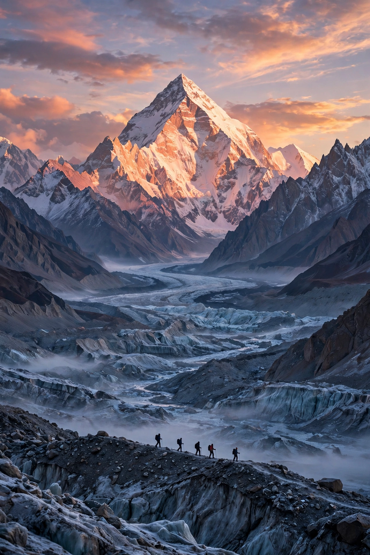
The Walk to the Foot of the Savage Mountain: Your 2026 Guide to the K2 Base Camp Trek
There is a moment on the Baltoro Glacier when the whole trek suddenly makes sense. You have been walking for six days across grey rubble and broken ice, and every step has looked more or less the same. Then the glacier bends, the valley opens, and there it is. A wall of rock and ice so big your brain takes a second to accept the scale. K2. Eight thousand six hundred and eleven metres of it, standing at the end of the world like it owns the place. Because it does.
They call it the Savage Mountain, and the name is not marketing. K2 is the second highest mountain on Earth, steeper and colder than Everest, and far less forgiving. But here is the thing most people get wrong about the K2 Base Camp trek: you do not need to be a climber to do it. You need to be fit, patient, and honest with yourself about altitude. In 2026 the trek is more accessible than ever, with better roads, clearer permit rules, and operators publishing real prices. Everything here was checked against current 2026 sources before publishing.
What the K2 Base Camp Trek Actually Is
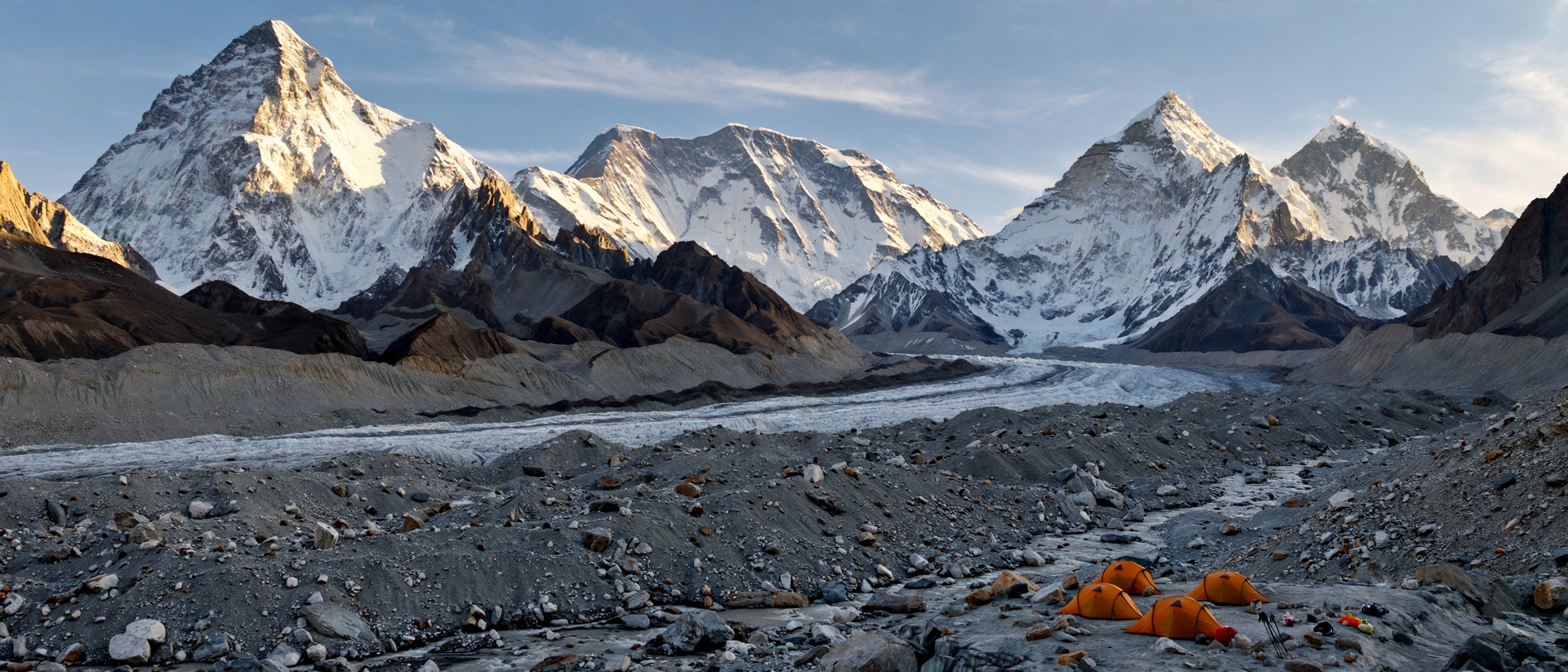
The K2 Base Camp trek is a high altitude expedition through the Karakoram range in Gilgit-Baltistan, Pakistan. It follows the Baltoro Glacier, one of the longest glaciers outside the polar regions at roughly 62 kilometres, from the village of Askole to the foot of the world’s second highest mountain. The walk is about 90 to 100 kilometres each way from Askole, so roughly 180 to 200 kilometres on foot in total. Most itineraries run 14 to 21 days door to door from Islamabad, with 12 to 16 actual trekking days. K2 Base Camp sits at about 5,150 metres on the Godwin-Austen Glacier, and Concordia, the famous campsite where you sleep before the final push, sits at about 4,600 metres.
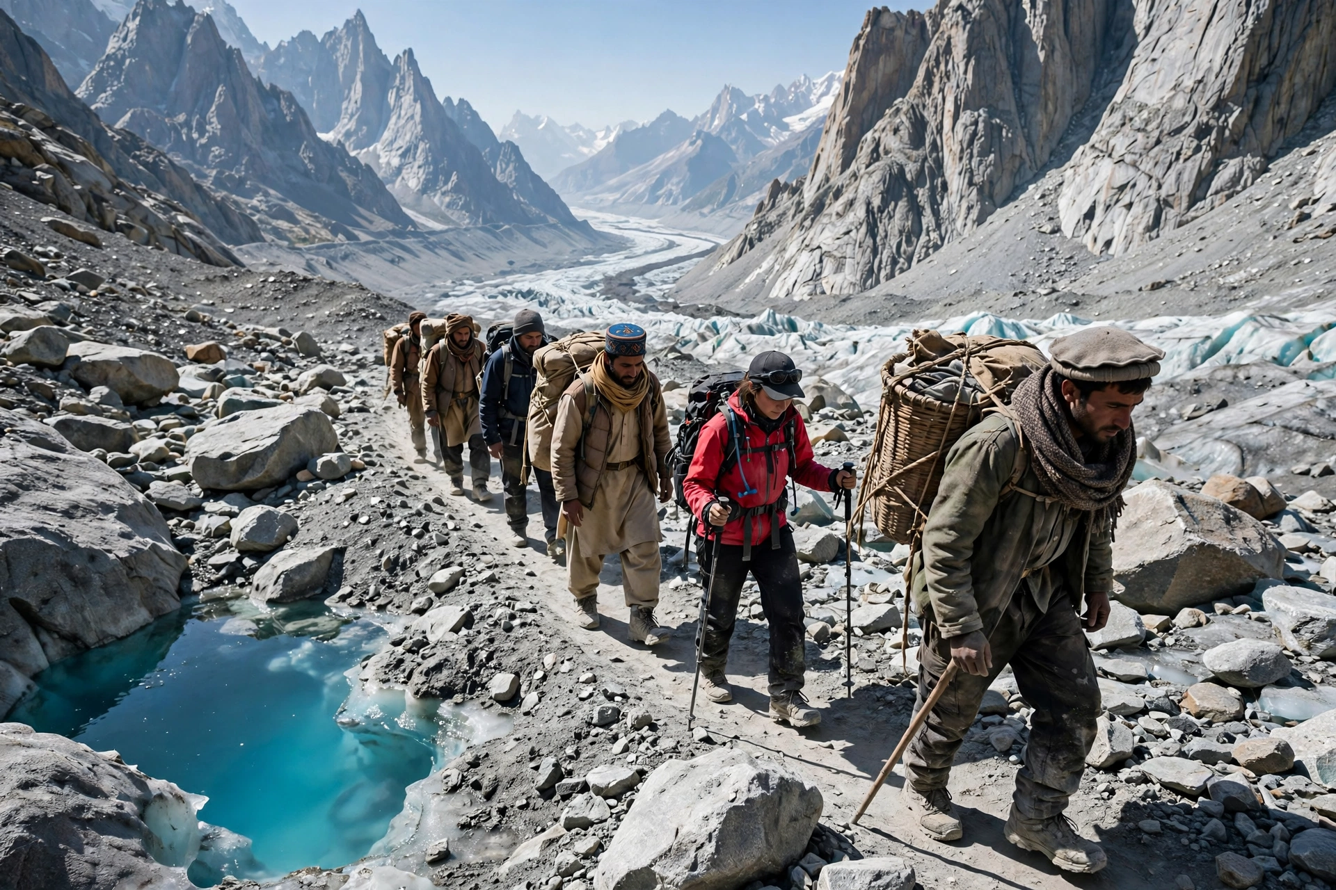
What makes this trek different from the famous walks in Nepal is what is not there. There are no teahouses. No lodges, no bakeries, no hot showers, no Wi-Fi. From the moment you leave Askole, the last permanent village at about 3,040 metres, there is no road, no electricity, and no permanent building of any kind. Everything you need for two weeks gets carried in by porters, and you sleep in tents every single night. That is the whole point, and it is also the part that catches people off guard. The Annapurna Circuit, which we covered in our November guide to the Annapurna Circuit, lets you walk village to village with a hot meal waiting. The Baltoro gives you nothing but the most spectacular setting on Earth.
The trek is non-technical on the standard route. No ropes, no crampons, no climbing experience needed to reach K2 Base Camp itself. What you need is the ability to walk six to eight hours a day, day after day, on uneven moraine at altitudes where the air holds barely half the oxygen you are used to. The hardest part is not any single day. It is the accumulation: the dust, the cold nights, the broken sleep, the long slow grind of the glacier under your boots.
Concordia: The Throne Room of the Mountain Gods
Ask any trekker who has done this walk what the single best moment was, and most of them will not say K2 Base Camp. They will say Concordia. It is the campsite at the meeting point of the Baltoro and Godwin-Austen glaciers, at about 4,600 metres, and it has a nickname that sounds like hype until you stand there: the Throne Room of the Mountain Gods.
From one campsite, with no climbing at all, you can see four of the fourteen 8,000 metre peaks on the planet. K2 at 8,611 metres. Broad Peak at 8,051 metres. Gasherbrum I at 8,080 metres. Gasherbrum II at 8,035 metres. They ring the horizon in a full circle, and at dawn the light hits them one by one like someone switching on lamps. Most itineraries spend two nights at Concordia, which gives you a full day to walk to K2 Base Camp and back. At 5,150 metres, K2 Base Camp is a day trip, not an overnight stop, because sleeping that high is miserable for most people. You walk in, stand at the foot of the Savage Mountain, pay your respects at the Gilkey Memorial, and walk back to sleep at Concordia.
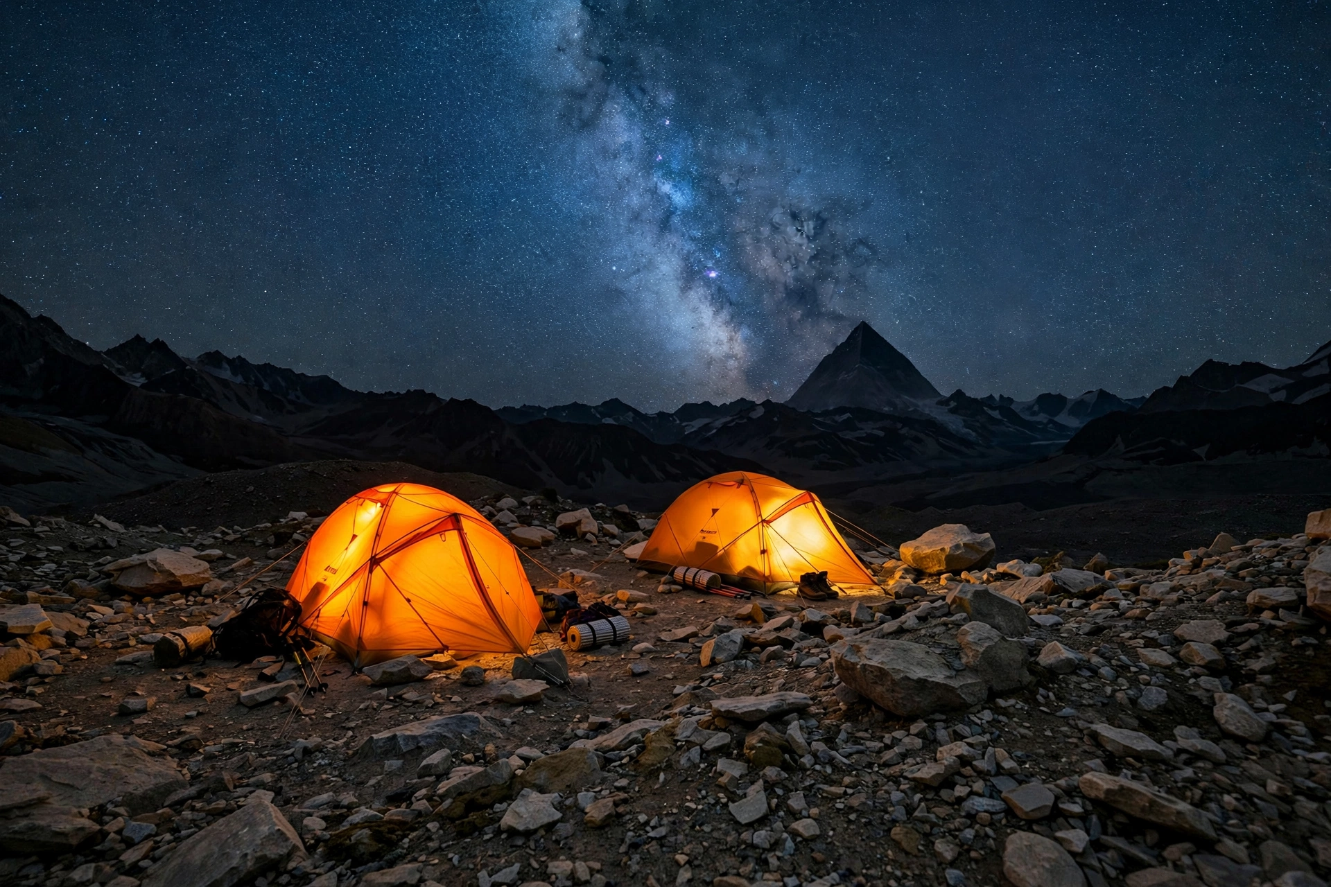
Concordia is also where the trek changes character. Up to that point you have been walking up a valley, with the mountains mostly ahead of you. At Concordia you are inside the amphitheatre, and at night, with no light pollution for a hundred kilometres in any direction, the Milky Way is bright enough to walk by.
The Route, Day by Day
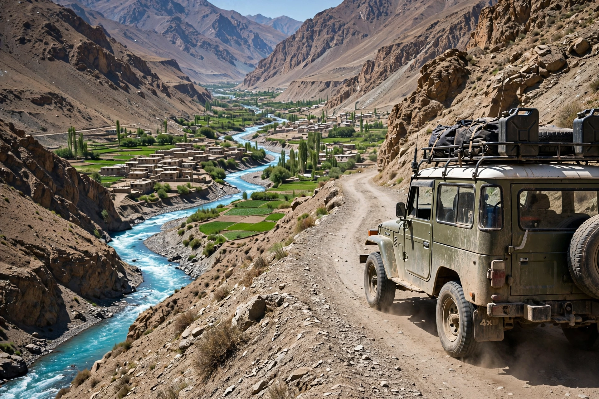
Every operator runs a slightly different itinerary, but the bones of the trek are the same. You fly or drive from Islamabad to Skardu, the gateway town to the Karakoram, then take a rough jeep ride through the Shigar Valley to Askole: six to eight hours on a mountain road above the Braldu River, ending at the last village before the wilderness.
From Askole, the walking usually goes like this. Day one takes you to Jhula, about 17 to 18 kilometres along the Braldu River, and a new bridge over the Dumordo River, finished in 2024 to 2025, has extended jeep access as far as Jhola, so some groups now start walking further up. Day two runs to Paiju, at the snout of the Baltoro Glacier, and this is where most itineraries build in a rest day. Paiju is the last green camp on the trek, and the rest day matters more than it looks on paper. Your body is at about 3,400 metres, the hard glacier walking is about to start, and a day of eating, hydrating, and doing nothing is the cheapest altitude insurance you will ever buy.
From Paiju you climb onto the glacier itself, through camps called Khoburtse, Urdukas, and Goro I and II. The distances look short on a map, eleven or twelve kilometres a day, but glacier walking is slow: a jumble of boulders, ice ridges, and hidden crevasses, with the route changing every season as the ice shifts. By Goro II you are sleeping above 4,300 metres. Then comes the day everyone waits for: Goro II to Concordia, about twelve kilometres, and the amphitheatre opens up in front of you.
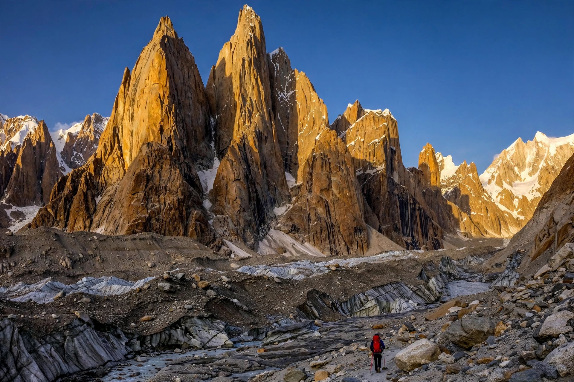
The K2 Base Camp day is the longest of the trek. From Concordia it is about twenty kilometres there and back, nine to eleven hours, along the Godwin-Austen Glacier. You pass the Gilkey Memorial, a small cairn covered in plaques and prayer flags that marks the spot where climbers lost on K2 are remembered. It is a quiet place, and it should be. Then you are standing at the base of the mountain itself, at 5,150 metres, before walking back to Concordia, because that is where your tent is.
How Hard Is It, Really?
Let us be honest about this, because the trekking industry is not always honest. The K2 Base Camp trek is hard. It is not the hardest trek in the world, and it is not technical, but it is a serious undertaking, and anyone who tells you otherwise is selling you something.
The difficulty comes from four things stacking up at once. First, the altitude. You sleep above 4,000 metres for most of the second week, and at Concordia the air holds about 58 percent of the oxygen at sea level, about 53 percent at K2 Base Camp. Headaches and broken sleep are normal, even for fit people. Second, the terrain. Glacier moraine is ankle-twisting ground, and you walk it for hours every day. Third, the remoteness. Once you are past Paiju, there is no quick way out, and bad weather can ground helicopters for days, so your insurance must cover evacuation. And fourth, the length. Two weeks of camping wears people down in a way that a long weekend hike never will.
Who should do it? If you have done a multi-day trek at altitude before, if you can walk six hours a day with a day pack for a week, and if you are comfortable with basic camping, you are ready to train for this. If you have never slept in a tent and never walked above 3,000 metres, this is not the trek to start with. Do something like the Upper Mustang trek in Nepal first, and come back to the Baltoro when you know how your body handles altitude.
The Gondogoro La Option: The Exit That Changes Everything
Most trekkers walk back down the Baltoro the way they came in. But there is another way out. Instead of retracing your steps to Askole, you can cross the Gondogoro La, a high pass at 5,585 metres, and exit through the Hushe Valley. It adds four to five days and turns the trek into an 18 to 21 day expedition.
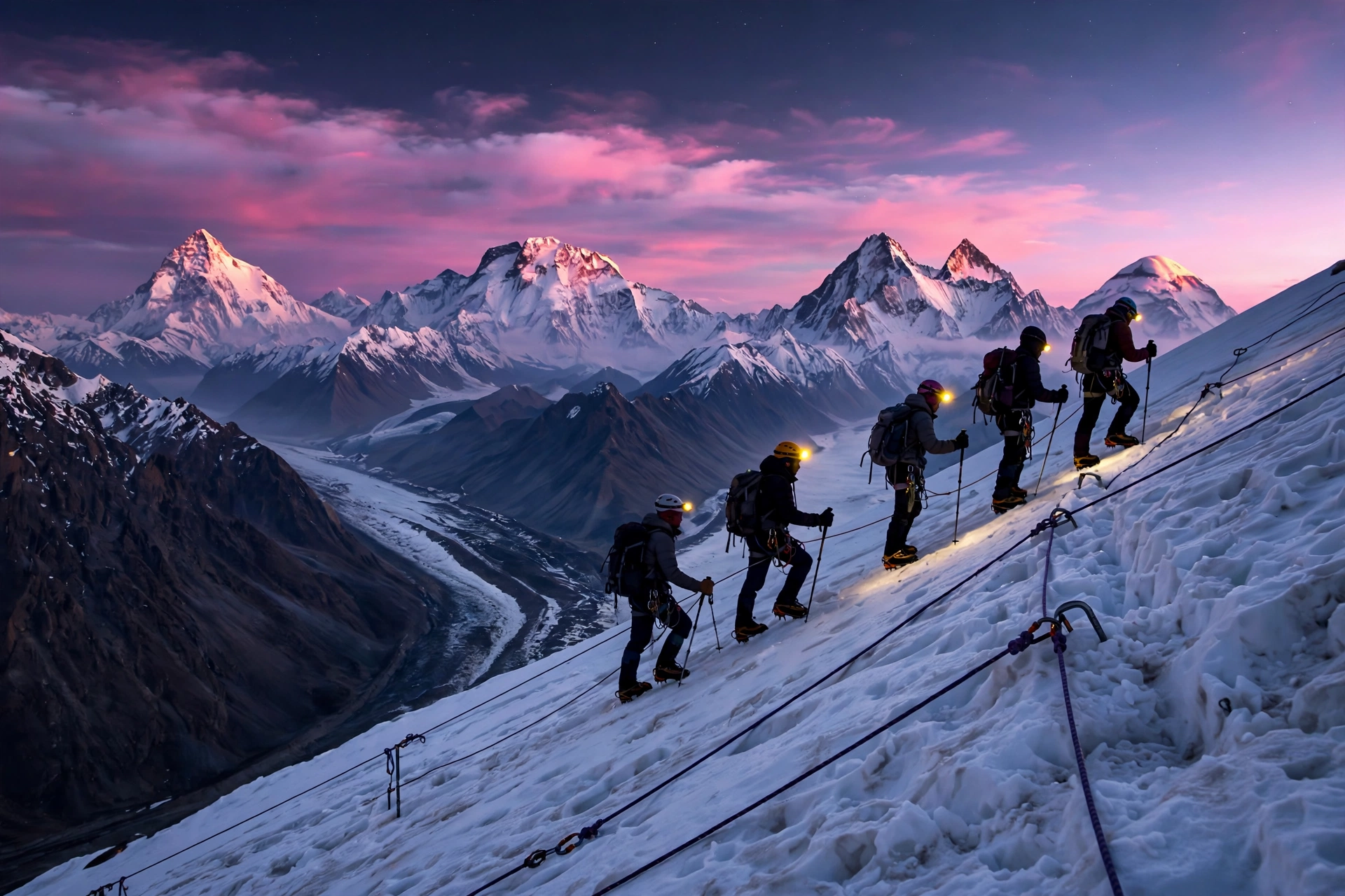
The pass day starts at midnight. You leave Ali Camp between midnight and two in the morning, climb a steep snow slope on fixed ropes, wearing crampons, and reach the top in time for sunrise. And the sunrise from Gondogoro La is the single best viewpoint on the entire trek. From the pass you look back across four 8,000 metre peaks at once: K2, Broad Peak, Gasherbrum I, and Gasherbrum II, all lined up in a row. Trekkers who have done both the K2 trek and the Everest Base Camp trek say nothing on the Everest side matches this view.
But here is the honest part. The crossing is technical, it is exposed, and it is never guaranteed. If the weather turns or the snow conditions are wrong, your operator will cancel it and walk you back down the Baltoro instead. That is the right call, every time. The pass is a bonus, not a promise.
What It Costs in 2026
Permit costs first, because these changed recently. The total permit bill for a summer trek runs about 340 US dollars per person, covering the restricted zone trekking permit, about 150 dollars, and the Central Karakoram National Park fee. The Gilgit-Baltistan government had proposed raising the trekking permit to 300 dollars, but the GB High Court froze fees at the May 2025 compromise levels through at least 2026. You cannot arrange these permits yourself: the Baltoro corridor is a restricted zone, and applications must go through a licensed Pakistani tour operator to the GB Council. There is no self-service portal for foreign trekkers as of 2026.
Operator prices vary widely. The cheapest published 2026 packages start around 1,400 dollars per person for a 17 day group trek from local Skardu based operators. Mid range international operators charge roughly 2,500 to 3,500 dollars, and premium Western operators run 4,500 to 5,750 dollars for 21 to 22 day trips. What is usually not included, and what people forget to budget for, is the domestic flight to Skardu, travel insurance with helicopter evacuation cover, tips for guides and porters, and your own gear. Add at least 500 to 800 dollars on top of the package price for those.
Permits and the Rules Nobody Tells You
The single most important thing to understand about the K2 Base Camp trek is that you cannot do it alone. This is not a suggestion, it is the law. The Baltoro corridor is a restricted zone, and foreign trekkers must travel with a licensed Pakistani operator and a licensed guide. Solo trekking is not possible, and there is no way to buy your own permit at a counter somewhere. Your operator handles the paperwork through the Alpine Club of Pakistan and the GB Council, and that paperwork takes time, so book months ahead, not weeks.
There is also a practical reason for the rule. This is not a trail with signposts and rescue posts. It is a glacier in one of the most remote mountain ranges on Earth, and your guide has walked it dozens of times. They know where the crevasses are this season, which camps have water, and when the weather is about to turn.
One more thing: the porters. The Baltoro trek runs on the backs of local Balti porters, and the good operators pay fair wages, limit loads, and provide proper equipment. Ask any operator directly about porter pay and load limits. If they dodge the question, that tells you everything.
When to Go, and When Not To
The season is short, and it is not negotiable. The trekking window runs from mid-June to mid-September, and the sweet spot is July and early August, when the weather is at its most settled and the Gondogoro La has the best chance of being crossable. June is quieter but snowier, and late August brings fewer crowds with a chance of early snow on the pass. October through April is simply not viable: the passes close, the approaches are snowed in, and no operator runs the trek.
Here is the part that ruins more K2 trips than anything else: getting to Skardu. The flight from Islamabad to Skardu is one of the most spectacular flights in the world, threading between peaks that tower above the plane, and it is also one of the most frequently cancelled. Bad weather can ground flights for days. The road alternative is the Karakoram Highway, a 600 kilometre drive that takes 16 to 18 hours, and in late July and August of both 2025 and 2026, floods cut the Skardu road for days at a time. Build spare days into your plan at both ends. Two days in Skardu before the trek, and one or two after. Operators who promise tight schedules are promising something the mountains do not guarantee. If you want a trek where the logistics are gentler, our Ha Giang Loop guide covers a very different kind of adventure, one where the road is the whole point.
The Problem Most Trekkers Don’t Plan For
Everyone plans for the walking. Almost nobody plans properly for the three things that actually end K2 treks early: altitude, water, and fitness that is not specific enough.
Altitude first, because it is the one that does not care how fit you are. Acute mountain sickness can hit anyone, and the only reliable prevention is a slow itinerary with proper acclimatisation. The standard route builds this in: a rest day at Paiju, gradual gains, and nights that climb slowly. Do not try to save money by cutting days off the itinerary. The operators who offer a faster, cheaper version of this trek are selling you altitude sickness with a discount. Learn the symptoms before you go: headache, nausea, dizziness, and sleep that never feels like sleep. The rule on the trail is simple and non-negotiable. If symptoms get worse as you climb, you go down. No base camp, no photo, is worth your life.
Water is the second problem, and it is the one that surprises people most. The glacier streams look clean. They are not. Poor drinking water is one of the main causes of illness on the Baltoro, and a stomach bug at 4,500 metres is a trip-ending event. Bring a proper water filter or purification tablets, and use them every single time, even when the water looks like it came straight from a postcard.
Fitness is the third, and here the mistake is specific. People train by running or going to the gym, then discover that six hours a day on uneven moraine uses muscles a treadmill never touches. Train with a loaded pack on rough ground, up and down hills, for hours at a time, for weeks, not days. And train your knees: the descents on this trek are where knees give out. Trekking poles are not optional here. They are as important as your boots.

What to Pack (The Short Version)
Boots you have already broken in for at least a hundred kilometres. Not new boots. Never new boots. A sleeping bag rated to minus 15 degrees Celsius, because Concordia nights are cold even in July. Layers, not one big jacket. Serious sun protection, because the UV at 5,000 metres on a glacier is brutal and the ice reflects it from below. A water filter and a one litre bottle. Trekking poles. A headlamp with spare batteries, because the Gondogoro La day starts at midnight. And a small first aid kit with altitude medication, blister care, and rehydration salts.
Is It Worth It?
Yes, and it is not a close call. There are very few places left on Earth where you can walk for two weeks through true wilderness and end up standing at the foot of one of the great mountains of the world. The K2 Base Camp trek is one of them. It is not easy, it is not cheap, and it is not for everyone. But the payoff is a place no photograph can prepare you for: a campsite at 4,600 metres where four 8,000 metre peaks ring the sky, and a morning walk to the base of the Savage Mountain itself.
Here is the honest summary. If you want a comfortable trek with hot showers and teahouses, go to Nepal. If you want the wildest, most spectacular walk you can do without technical climbing, and you are willing to earn it, the Baltoro is waiting. Book the operator first, then the permits, then the flights, and build in spare days at both ends. When you finally stand at Concordia and the sun hits K2, you will understand why people call it the Throne Room of the Mountain Gods. Some places earn their nicknames.
Want more adventures like this? Follow The Cavee on Pinterest for a new destination every day, and check back here for the next trekking guide. If you have walked the Baltoro, tell us your Concordia story in the comments. We read every one.
Sources for the facts in this guide: the 2026 K2 Base Camp complete guide from JTreks and the K2 Base Camp trek guide from Go With Guide Pakistan, both checked in November 2026. Permit fees, prices, and conditions change, so confirm the current figures with your operator before booking.