Annapurna Circuit in November: The 5,416-Metre Pass, the Permits, the Real Costs, and How to Actually Do It
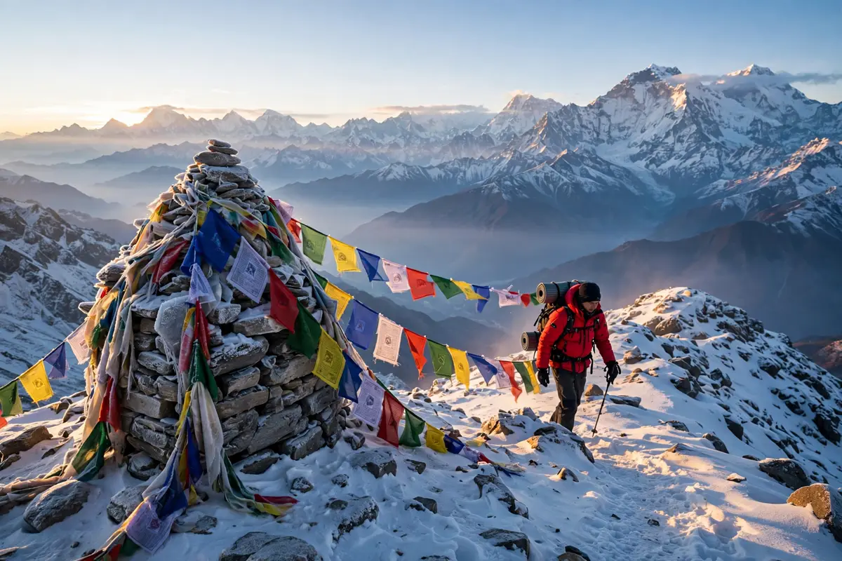
There is a morning on the Annapurna Circuit when your alarm goes off at 3 am, the air outside your teahouse is well below freezing, and your headlamp picks out a line of tiny lights snaking up a black mountainside ahead of you. Nobody talks much. Everyone is saving their breath for the climb. Four or five hours later you are standing on a wind-scoured ridge at 5,416 metres, prayer flags cracking in the wind, with the whole Himalaya spread out below you like a relief map. That is Thorong La, and it is the reason this trek has a reputation that no other walk in Nepal can quite match.
November is when the circuit is at its best. The monsoon is long gone, the skies are at their clearest, and the crowds of October have started to thin. If you have ever thought about doing this trek, this is the month to do it. This guide covers the route, the permits, the real costs, the altitude problem nobody should ignore, and the mistakes that turn a great trek into a miserable one. Everything here was checked against current 2026 sources before publishing.
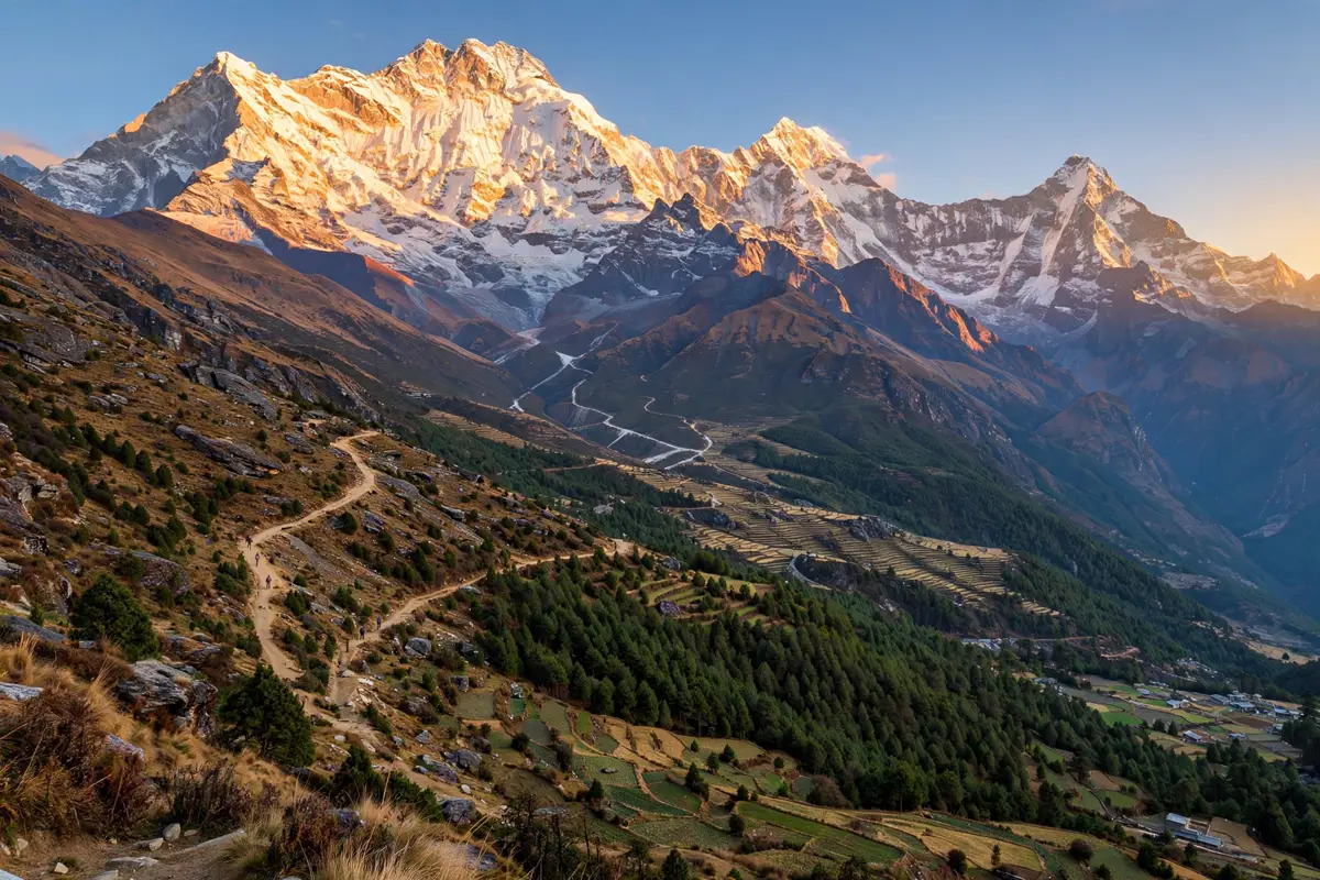
What the Annapurna Circuit Actually Is
The Annapurna Circuit is a long-distance trek that loops around the entire Annapurna massif in central Nepal. It starts low, in the subtropical Marsyangdi valley, climbs through pine forest and high alpine villages, crosses Thorong La, one of the highest regularly trekked passes in the world, and then drops into the dry, Tibetan-feeling landscape of the Kali Gandaki valley on the other side. The full walk runs about 160 to 230 kilometres depending on where you start and finish, and most people take 12 to 15 days.
What makes it special is not one single view. It is the sheer variety. In two weeks you walk through six different ecological zones, from banana plants and rice terraces to a desert that looks like Tibet. You pass through Gurung villages, then Manangi villages, then Thakali villages, each with its own food, architecture and customs. And you do it all on foot, sleeping in teahouses, eating dal bhat twice a day, and watching the mountains change every single morning.
Annapurna I, the peak that gives the range its name, stands at 8,091 metres. It was the first 8,000-metre peak ever climbed, by Maurice Herzog and Louis Lachenal in 1950, three years before Everest. That history hangs over the whole region. You are walking in the shadow of mountaineering legend, and you feel it.
Why November Is the Sweet Spot (and the One Catch)
The Nepal Tourism Board lists March to May and September to November as the best seasons for the Annapurna region. Within that window, mid-October to mid-November is the sweet spot. The post-monsoon air is washed clean, the skies are blue more days than not, and the mountain views are at their sharpest. Temperatures in the valleys are still pleasant, and the trails are dry underfoot.
November has one more advantage: the crowds. October is the busiest month on the circuit, and teahouses in Manang and Thorong Phedi can fill up completely. By November the October rush has eased, the trails are quieter, and you can usually get a room without racing to the next village. Fixed departures are still running right now, with groups leaving in early and mid-November 2026, so the infrastructure is fully open.
The catch is the cold. Above 4,000 metres, November nights drop well below freezing, and Thorong La itself can be bitterly cold and windy in the early morning. That is manageable with the right gear, but it is not a trek to attempt in a light jacket and trainers. Pack for winter at the top and autumn at the bottom, because you will experience both in the same week.
If you like the idea of a Himalayan trek but want something shorter and cheaper, our guide to Upper Mustang, Nepal’s forbidden kingdom, covers a very different side of the same mountains, with new permit rules that changed everything in 2026.
The Route, Day by Day
The classic circuit runs counterclockwise, from Besisahar up the Marsyangdi valley, over the pass, and down the Kali Gandaki to Pokhara. Modern trekkers usually skip the lowest roaded section by jeep, starting at Chame or Dharapani instead. Here is what a sensible 14-day version looks like.
Days 1 to 3: Kathmandu to the trail
Day one is arrival in Kathmandu at 1,400 metres. Day two is the long drive to Chame at 2,670 metres, about eight hours on mountain roads. Day three takes you to Pisang at 3,300 metres. The landscape changes fast. One day you are in traffic and dust, the next you are walking under pine forest with Annapurna II filling the sky ahead of you.
Days 4 to 6: Manang and the acclimatization day
From Pisang the trail climbs to Manang at 3,540 metres, the biggest village on the circuit and the place where most trekkers take a rest day. Manang is worth a full day on its own. It is a stone-built village of flat roofs and narrow lanes, with Gangapurna looming directly above it, and it has bakeries, a cinema hall that shows mountaineering films, and a famous acclimatization hike to Ice Lake at 4,600 metres.
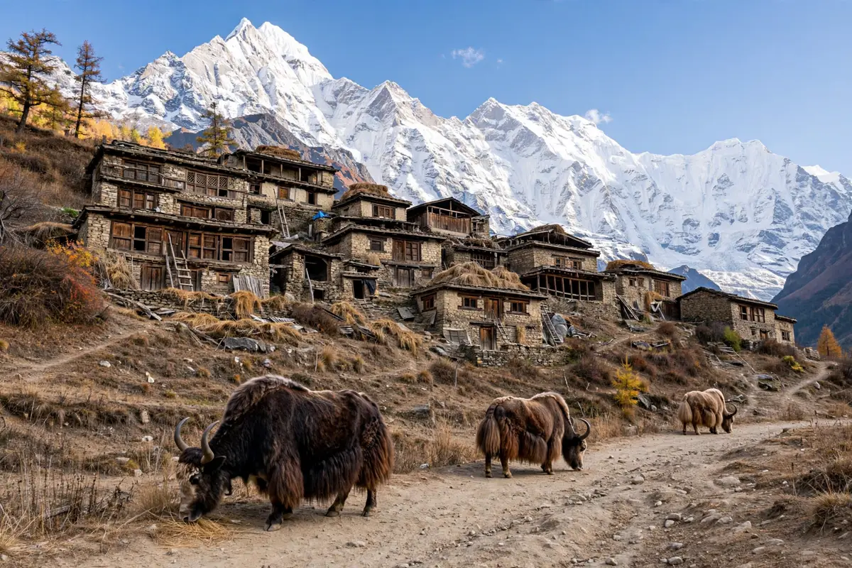
Do not skip the acclimatization day. This is the single most common mistake on the circuit, and it is the one that sends people down the mountain sick. Your body needs time to adjust to the thin air, and a slow day hike to a higher altitude followed by a night back in Manang is the safest way to do it. The mountains will still be there tomorrow. Your health might not be.
Days 7 to 9: The climb to the pass
From Manang the trail climbs through Yak Kharka to Ledar at 4,250 metres, then to Thorong Phedi at 4,525 metres. Some trekkers push on to High Camp at 4,880 metres to shorten the pass day, but the rooms there are basic and the sleep is rough. Thorong Phedi is the more comfortable choice.
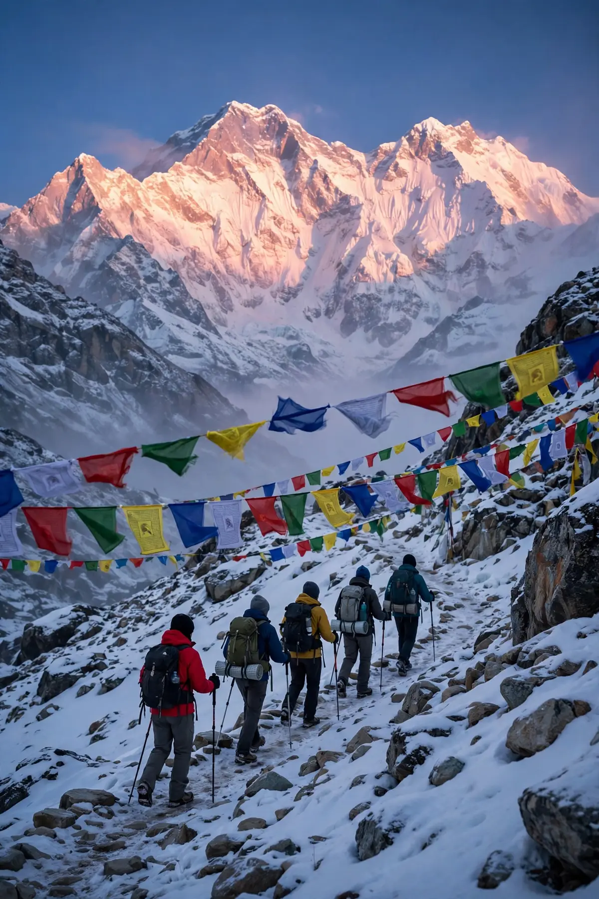
On pass day you leave at 3 or 4 am. The climb takes four to five hours in the dark and the cold, and the last stretch is a long series of switchbacks up a slope that seems to go on forever. Then, suddenly, you are there. The prayer flags, the stone cairn, the sign that says 5,416 metres. Most people spend less than an hour at the top, because the wind and the altitude make lingering unpleasant, and then comes the long descent: 1,600 metres down to Muktinath at 3,800 metres. All told, pass day is eight to twelve hours of walking. It is the hardest day of the trek and the one you will remember for the rest of your life.
Days 10 to 14: The other side
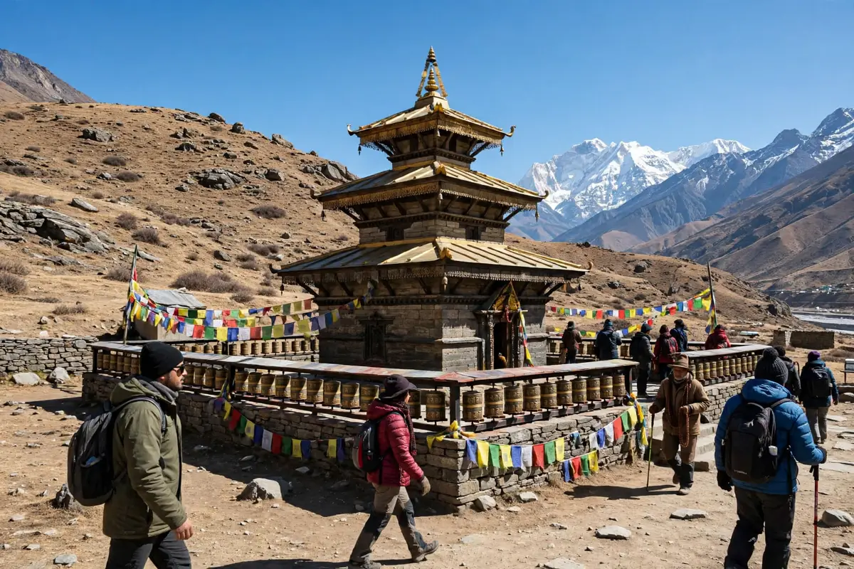
Muktinath is a sacred place for both Hindus and Buddhists, and the temple there draws pilgrims from across Nepal and India. From Muktinath the trail drops through Kagbeni and Jomsom, the windy administrative town of the region, and then to Marpha, a whitewashed village famous for its apple orchards and apple brandy. The Kali Gandaki valley here is one of the deepest gorges on Earth, carved between Annapurna and Dhaulagiri, and the wind that funnels through it every afternoon is strong enough to sandblast your face.
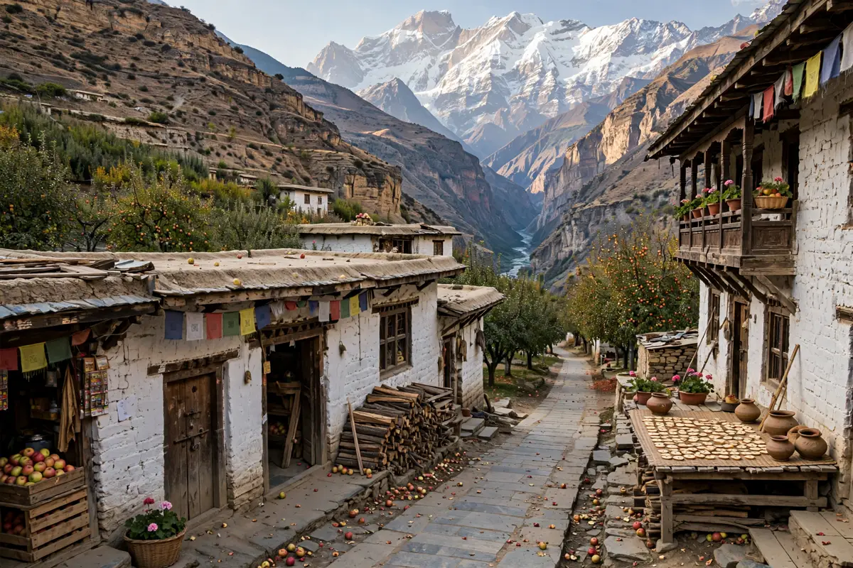
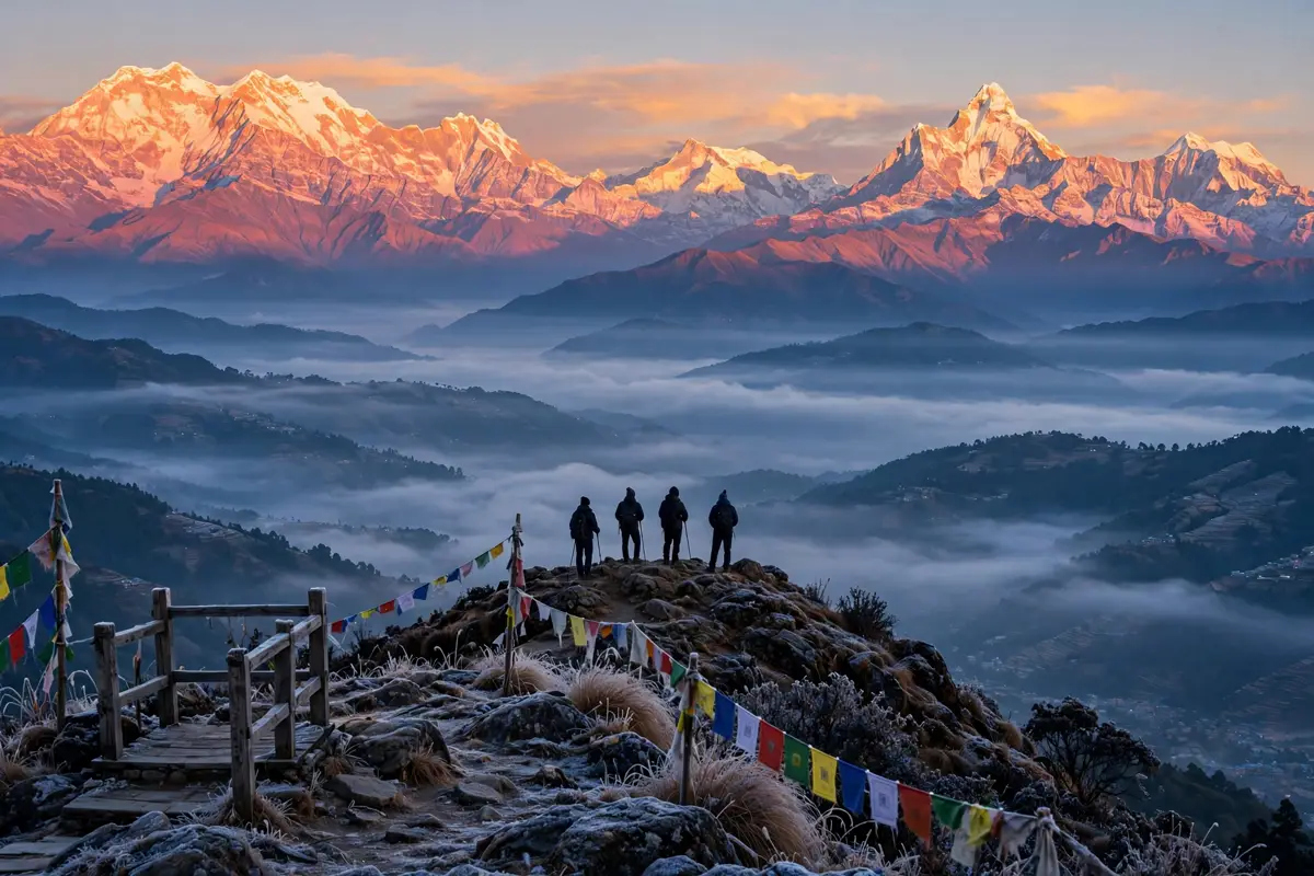
The last stretch is the reward. A jeep or bus takes you down to Tatopani, where natural hot springs wait at the bottom of the valley, and then the trail climbs through rhododendron forest to Ghorepani and Poon Hill, the famous sunrise viewpoint. From Poon Hill at dawn, the whole Annapurna and Dhaulagiri range lights up orange and pink in front of you. It is the perfect ending, and then it is a short walk down to Pokhara, lakeside cafes, and a proper shower.
Permits, the Guide Rule, and the Paperwork Nobody Enjoys
Here is the part that trips people up, so let us get it straight. You need two permits for the Annapurna Circuit, and both are mandatory for foreign trekkers.
The first is the ACAP permit, the Annapurna Conservation Area Project entry permit. For non-SAARC foreigners it costs NPR 3,000, roughly $22. SAARC citizens pay NPR 1,000, Nepalis pay NPR 100, and children under 10 enter free. The second is the TIMS card, the Trekkers Information Management System card. That costs NPR 2,000 for an individual trekker, roughly $15, or NPR 1,000 if you go through a registered agency. All told, budget about $37 to $40 for permits. These fees were verified against Nepal Tourism Board pages on 7 November 2026, but confirm them again before you travel, because they do change.
The bigger change is the guide rule. Since 31 March 2023, under the revised TIMS rules, foreign trekkers on the Annapurna Circuit must be accompanied by a licensed trekking guide, and the TIMS card has to be issued through a government-registered agency. Solo independent trekking is restricted. This surprises a lot of people who read older guidebooks, so plan for it. A licensed guide typically costs NPR 4,000 to 6,000 per day, roughly $26 to $39, and on a guided package the permits are usually arranged for you. Always confirm whether they are included in the price or added on top.
For the full official breakdown of the ACAP and TIMS fees, the Annapurna Conservation Area travel guide lists the current Nepal Tourism Board figures. A detailed 2026 cost breakdown for the Annapurna Circuit is also worth reading before you book anything.
What It Really Costs in 2026
The honest answer is that it depends on how you travel, but here are the numbers that hold up across the 2026 sources. A budget guided 14-day circuit starts at around $600 per person. A mid-range guided package runs $1,200 to $1,800. Independent trekkers with a hired guide usually spend $750 to $1,000 all in, not counting international flights.
On top of the package price, budget for a Nepal visa, about $50 on arrival, and travel insurance of $100 to $150. The insurance is not optional in any real sense. It must cover high-altitude trekking and helicopter evacuation, because a helicopter rescue from above 4,000 metres can cost thousands of dollars without it. Teahouse food and lodging along the trail runs roughly $25 to $35 a day, and a hot shower or charging your phone often costs extra. Bring cash in rupees, because there are no ATMs on the trail, and the ones in Jomsom are unreliable.
The permits, as above, are about $40. The guide is the biggest single cost after the package itself. It is also the best money you will spend on this trek, because a good guide knows when the pass is safe, when the weather is turning, and when you need to stop and rest, even when you insist you are fine.
Altitude Sickness: The Problem You Must Take Seriously
Thorong La is 5,416 metres high. At that altitude the air holds roughly half the oxygen it does at sea level, and altitude sickness can hit anyone, no matter how fit they are. The symptoms start with a headache and nausea, and they can escalate to fluid on the lungs or swelling of the brain. This is not a scare story. In October 2014 a freak snowstorm near Thorong La killed 43 trekkers and guides, and every operator on the circuit changed their weather rules after that. If conditions are marginal, your guide will turn you around, and you should be glad.
The rules that keep you safe are simple, and they work. Climb high and sleep low when you can. Never gain more than 300 to 500 metres of sleeping altitude per day above 3,000 metres. Take the acclimatization day in Manang. Drink far more water than you think you need, at least three litres a day. Skip the alcohol above 3,000 metres. And if you develop a headache that does not go away with rest and water, or you start feeling confused or short of breath at rest, go down. Immediately. There is no summit worth your life, and the pass will still be there next year.
Diamox is the standard preventive medication, but talk to your doctor before the trip, not to a stranger on the trail. Some people take it, some do not, and it has side effects of its own. What matters most is a slow itinerary and the honesty to admit when you are struggling.
The Detour Worth Adding: Tilicho Lake
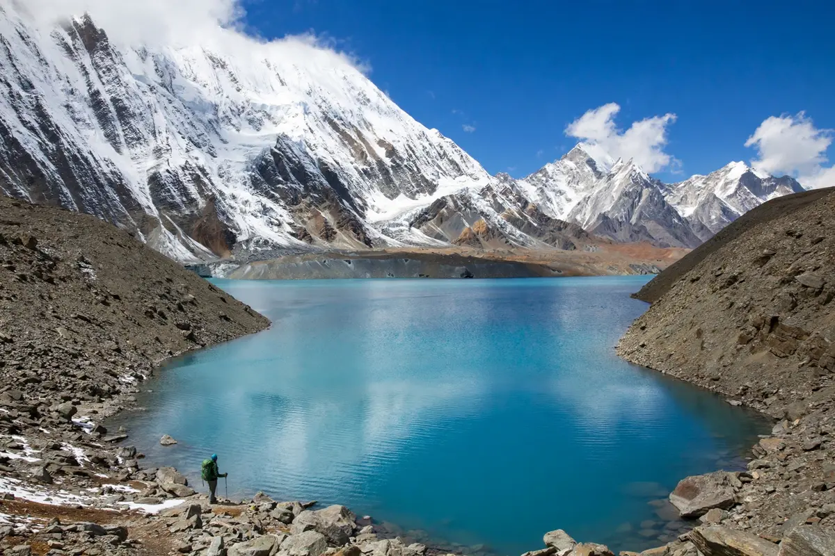
If you have two extra days, the side trip from Manang to Tilicho Lake is one of the best detours in the Himalaya. Tilicho sits at 4,919 metres, and it is often described as one of the highest lakes in the world. The trail climbs out of Manang through a landslide-prone section that demands care, then opens onto a turquoise lake ringed by bare rock and snow peaks. It is a hard two days, and it adds real altitude to your trip, so it doubles as acclimatization for the pass. Most trekkers who do it say it was the highlight of the whole circuit.
Muktinath, Marpha and the Hot Springs: the Other Side Deserves Its Own Day
Too many trekkers rush the second half of the circuit. They cross the pass, tick the box, and hurry to Pokhara. That is a mistake. The Kali Gandaki side is a different world, and it deserves at least two unhurried days.
Muktinath is a pilgrimage town, and the temple complex with its 108 water spouts is worth a slow morning. Kagbeni, just below it, is a medieval-feeling village of mud-brick houses and narrow lanes that marks the gateway to Upper Mustang. Marpha is the prettiest village on the whole trek, all whitewashed walls and apple orchards, and the apple pie and local brandy are genuinely good. And Tatopani, at 1,190 metres, has natural hot springs where you can soak your legs after two weeks of walking. Sit in the pool, order dal bhat, and let the mountains do the talking for once.
What to Pack (and What to Leave Behind)
Pack for two seasons at once. At the bottom you need light layers and sun protection. At the top you need a proper down jacket, warm gloves, a hat, and a sleeping bag rated to minus 10 or minus 15 degrees Celsius. Teahouses provide blankets, but at Thorong Phedi in November a good sleeping bag is the difference between sleeping and shivering all night.
The essentials list is short: broken-in hiking boots, trekking poles, a headlamp with spare batteries, a water bottle and purification tablets, sunscreen and lip balm with high SPF, sunglasses, a first aid kit with blister care, and a power bank, because charging costs money on the trail. Leave the heavy camera gear and the extra clothes behind. Every kilo matters at 5,000 metres, and the porters and your knees will thank you for travelling light.
One more thing: bring cash, and bring more than you think you need. There are no ATMs on the trail, and the cost of food rises with altitude. A plate of dal bhat that costs a few dollars in Kathmandu can cost double in Thorong Phedi, and that is fair enough, because everything up there arrived on someone’s back or a mule.
The Mistakes That Ruin This Trek
First, rushing. The 11-day fast version exists, but it cuts the acclimatization margin to almost nothing. Give yourself 14 days. Second, skipping Manang’s rest day. Third, starting the pass day late. The wind picks up after mid-morning, and the descent is long. A 3 am start is not macho, it is sensible. Fourth, trusting old information about permits and solo trekking. The guide rule changed in 2023, and the old blog posts have not caught up. Fifth, underestimating the cold in November. And sixth, booking the cheapest possible package without checking what it includes. A package that skips the guide, the insurance, or the acclimatization days is not a bargain, it is a risk.
If you want a different kind of high-altitude challenge after this one, our guide to the Mount Huashan plank walk in China covers 100 metres of wooden planks bolted to a cliff face, which is terrifying in a completely different way. And if Nepal has hooked you, the Ha Giang Loop in Vietnam is the motorbike adventure that most Annapurna trekkers plan next.
Is the Annapurna Circuit Worth It in November?
Yes, and it is not close. November gives you the clearest skies of the year, quieter trails than October, and a pass crossing that feels like a genuine achievement rather than a queue. It demands respect, a guide, a slow itinerary, and warm gear, but it pays you back with two weeks of landscapes that change every day and a morning on Thorong La that you will still be talking about in ten years.
Book the guide first, then the permits, then the flights. Give yourself 14 days, take the rest day in Manang, start the pass day at 3 am, and soak in the hot springs at Tatopani on the way down. That is the whole secret. There is no shortcut to 5,416 metres, and that is exactly why it matters.
Want more adventures like this? Follow The Cavee on Pinterest for a new destination every day, and check back here for the next trekking guide. And if you have walked the Annapurna Circuit, tell us your pass-day story in the comments. We read every one.
Pingback: K2 Base Camp Trek 2026: Route, Costs, Permits and Honest Advice