Three Countries, One Trail: Your 2026 Guide to the Peaks of the Balkans
There is a spot high in the Accursed Mountains where you can stand in three countries at once. No fence, no guard, no stamp in your passport. Just a pile of stones, a wind that smells like rain, and ridges rolling away in every direction. Albania is behind you, Kosovo is to your left, Montenegro is straight ahead, and the only proof you crossed a border is the ache in your legs.
That is the Peaks of the Balkans trail. It is 192 kilometres of waymarked path through some of the wildest country left in Europe, and it might be the best long hike you have never heard of. It loops through Albania, Kosovo and Montenegro in about ten days, from village to village, sleeping in family guesthouses where dinner is whatever was grown or milked that morning.
I am going to be straight with you. This is not a stroll. The days are long, the climbs are real, and the paperwork is the part that trips most people up, not the walking. But if you can handle 15 to 20 kilometres a day with a pack on your back, this trail gives you something the famous routes lost years ago. Silence. Empty paths. Mountains that still feel undiscovered.
Here is everything you need to walk it in 2026: the stages, the permits, the real costs, the season that actually works, and the mistakes to avoid.
What the Peaks of the Balkans Trail Actually Is
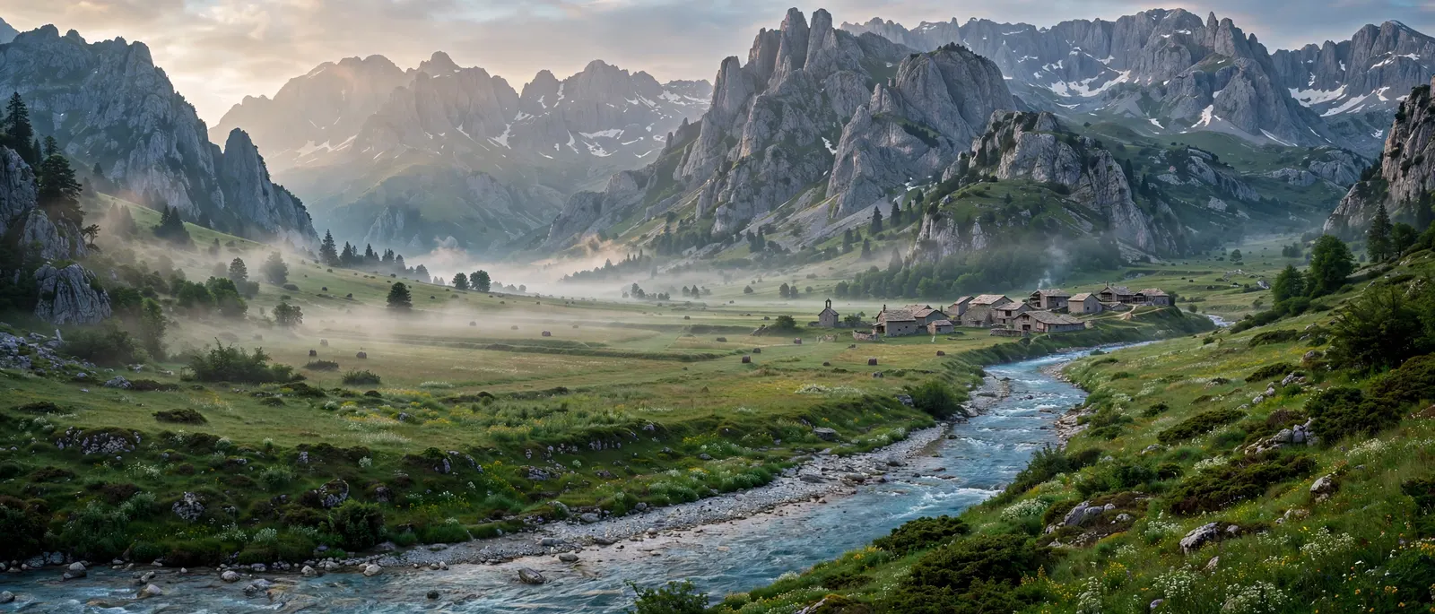
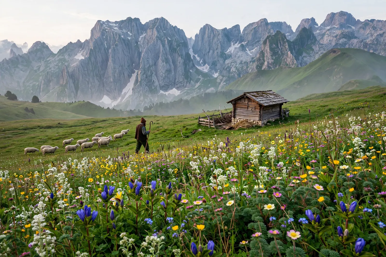
The trail is a circular loop through the Prokletije range, known locally as Bjeshket e Nemuna, which translates roughly as the Accursed Mountains. The name sounds dramatic, and honestly, the landscape earns it. Jagged limestone towers, deep glacial valleys, high pastures full of wildflowers, and villages so remote that the road only arrived a few years ago.
It was created in 2012 as a cross-border project led by the German development agency GIZ, working with hiking clubs and tourism groups in all three countries. The idea was simple and a little bit brave: turn a tense border region into a place people travel to, not away from.
The numbers: 192 kilometres in total, about 9,800 metres of climbing, usually split into ten stages. Most people take ten to thirteen days. There is no technical climbing on the main route. You do not need ropes or a helmet. What you need is stamina, decent boots, and a willingness to walk uphill for hours at a time.
The trail is a loop, so you can start anywhere. The most popular starting points are Theth and Valbona in Albania, Plav in Montenegro, and Peja in Kosovo. Most hikers walk it anticlockwise, starting in Theth, because that puts the famous Theth to Valbona crossing on day one.
Why 2026 Is the Year to Walk It
Three things happened that make this the moment. First, Cicerone Press published the first ever English-language guidebook to the trail in June 2026, written by Rudolf Abraham, which means the route finally has proper maps and stage notes in print. Second, the trail keeps showing up on 2026 lists of new hiking routes to try. Third, and most importantly, it is still quiet.
Theth and Valbona get busy in July and August now. The rest of the loop does not. On the Kosovo side especially, you can walk all day and meet almost nobody. That will not last forever. Go now, while the trail still feels like a secret.
The 10 Stages at a Glance
Here is the classic anticlockwise route from Theth, the version most hikers follow:
- Day 1: Theth to Valbona, about 17 to 19 km. The signature day. Over the Valbona Pass at around 1,795 metres, with the whole valley opening up below you.
- Day 2: Valbona to Cerem, about 14 km. A gentler day through forest and meadow.
- Day 3: Cerem to Doberdol, about 15 km. Remote, quiet, and one of the prettiest stretches of the loop.
- Day 4: Doberdol to Milisevc, about 17 km. You cross from Albania into Kosovo on a high pass. Your permit does the talking here.
- Day 5: Milisevc to Reka e Allages, about 14 km. The Kosovo side. Fewer people, fewer guesthouses, bigger sense of space.
- Day 6: Reka e Allages to Drelaj, about 16 km. Down through the Rugova Gorge area toward Peja.
- Day 7: Drelaj to Babino Polje, about 18 km. Into Montenegro, over the Qafa e Pejes pass.
- Day 8: Babino Polje to Plav, about 16 km. Lakes, pine forest, and the first proper town in days.
- Day 9: Plav to Vusanje, about 17 km. The Grbaja valley, with some of the most dramatic cliffs on the trail.
- Day 10: Vusanje to Theth, about 20 km. Back into Albania, and the loop closes where it started.
Distances vary a bit depending on which source you trust. One careful measurement put the mapped loop at 174 km, with the official figure at 192 km, because real walking adds zigzags the map smooths out. The Summit Goat measured the stages against OpenStreetMap and came to about 8,700 metres of climbing. Plan for the longer number.
The Day Everyone Talks About: Theth to Valbona
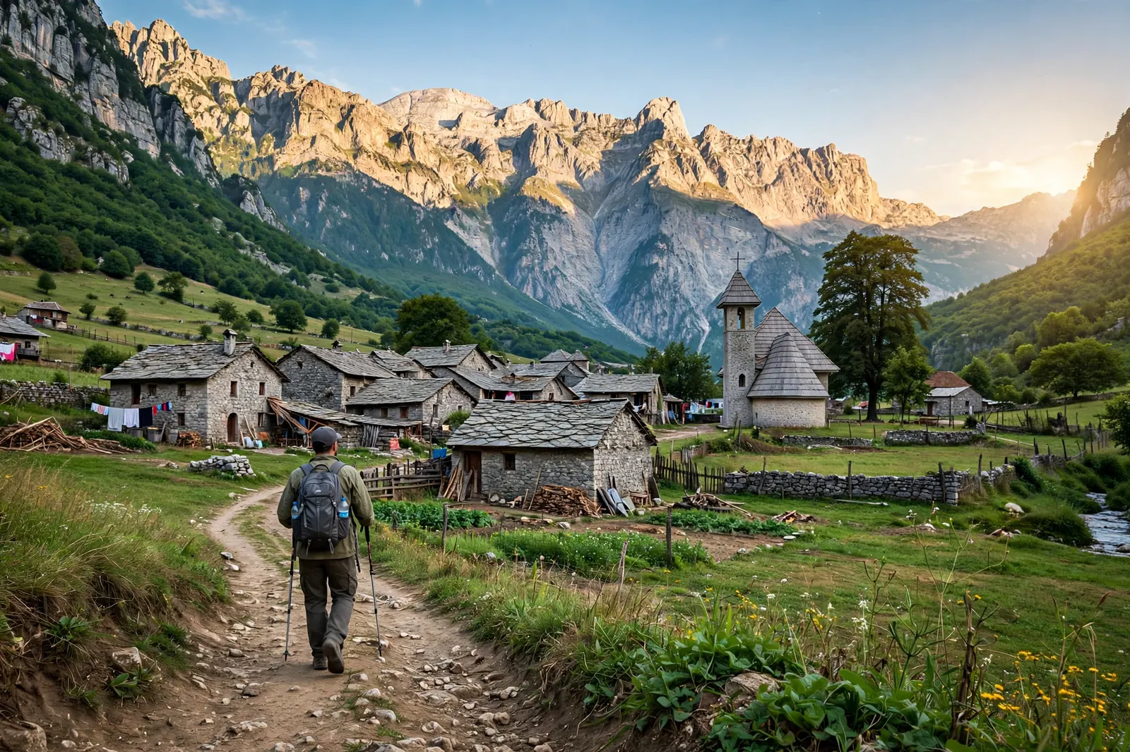
If you only remember one day of this trail, it will be the first one. You leave Theth early, while the valley is still full of mist, and climb steadily through beech forest for a couple of hours. Then the trees thin out, the path turns to rock, and suddenly you are on open mountainside with the whole of the Albanian Alps spread out in front of you.
The Valbona Pass sits at about 1,795 metres. It is not the highest point on the trail, not even close, but it is the most famous, because the view from the top stops people mid-sentence. On one side, Theth valley falling away behind you. On the other, Valbona valley dropping down in front, green and gold, with the river flashing silver at the bottom.
It is a long day, roughly six to seven hours of walking, with about 1,000 metres of climbing. Take it slow. Drink more water than you think you need. And when you reach the pass, sit down for ten minutes and just look. Everyone does. Nobody regrets it.
Tromedja: The Spot Where Three Countries Meet
About halfway around the loop, near the 2,300 metre mark, the trail passes the Tromedja, also called the Triangle. This is the exact point where Albania, Kosovo and Montenegro meet, and it is the symbolic heart of the whole trek.
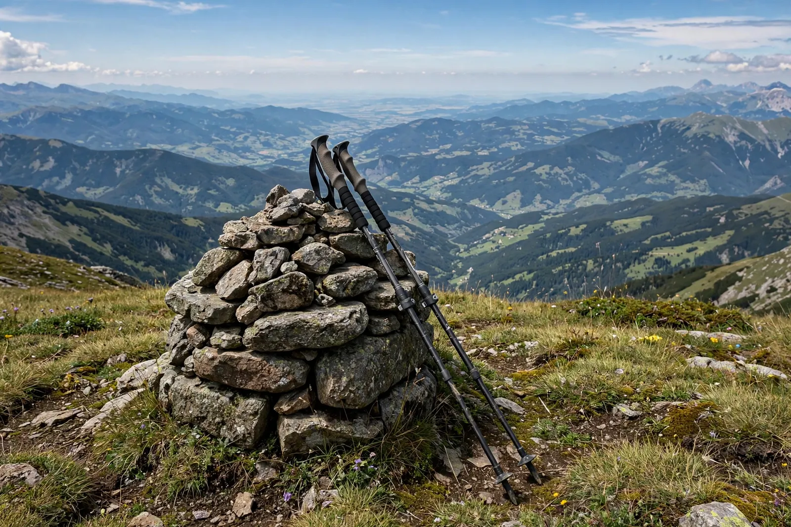
There is not much there. A cairn, a marker, open mountain in all directions. That is the point. You stand at the meeting of three nations and the only sound is wind and your own breathing. It is the kind of moment that makes the sore knees worth it, and it is the photo every hiker takes.
Nearby, Maja Jezerce rises to 2,694 metres, the highest peak in the Albanian Alps. You can see it from Theth and Valbona on clear days. Climbing it is a separate, serious undertaking, and not part of the main trail.
The Permit Problem (And How to Solve It)
Here is the part that catches people out. This is the problem to solve before you book anything else.
You cross three international borders on mountain passes, with no checkpoint and no border guard in sight. That does not mean the borders do not exist. You need a cross-border permit from the police in each country, listing the borders you will cross and the dates you will cross them. A passport alone will not do it.
Apply at least two weeks before you start. That is the official advice, and it is not a suggestion. People who leave it to the last minute have had to change their plans.
You have two options. The do-it-yourself route means emailing the police authorities in Albania, Kosovo and Montenegro directly. It is free or nearly free, apart from a small fee charged by the Montenegrin police, about 10 euros plus 3 euros per extra person, based on 2024 figures. The easier route is to use a local service like Zbulo in Albania, which handles all three permits for a small fee, roughly 5 euros per border crossing, or about 25 euros in total. Hikers who used it report the documents arriving within about a week.
Whichever way you do it, carry your passport every day on the trail, and carry the permit too. You probably will not be asked for it. But the one time you are asked is the time you will be glad you have it.
Permits are the theme of adventure travel in 2026. Nepal changed its Upper Mustang rules this year too, scrapping the old flat fee for a pay-as-you-go system, and the lesson is the same everywhere. Check the paperwork first, then book the flights. If you want to see how another permit change reshaped a classic trek, read our Upper Mustang 2026 guide.
What It Costs, Honestly
One of the best things about this trail is how cheap it is compared to the Alps or the Himalayas. There are no park entrance fees for walking. The money goes on beds, food and transport.
Guesthouse half board, which means a bed plus dinner, breakfast and a packed lunch, runs about 25 to 45 euros per person per night, depending on the village and the season. Theth and Valbona sit at the higher end. Doberdol and the Kosovo villages are cheaper. Drinks are extra, usually 2 to 2.50 euros for a beer or a soda.
All in, most independent hikers spend roughly 40 to 60 euros a day. A ten day trip lands somewhere around 500 to 700 euros, plus flights and the permit fee. Guided small-group tours that include everything run about 1,250 euros per person.
Bring cash, and bring small euro notes. There are no ATMs between the main towns, and mountain guesthouses almost never take cards. This is the single most common budgeting mistake on the trail, and it is completely avoidable. Take out euros in Shkoder or Peja before you start, and keep a reserve tucked away in your pack.
Where You Sleep and What You Eat
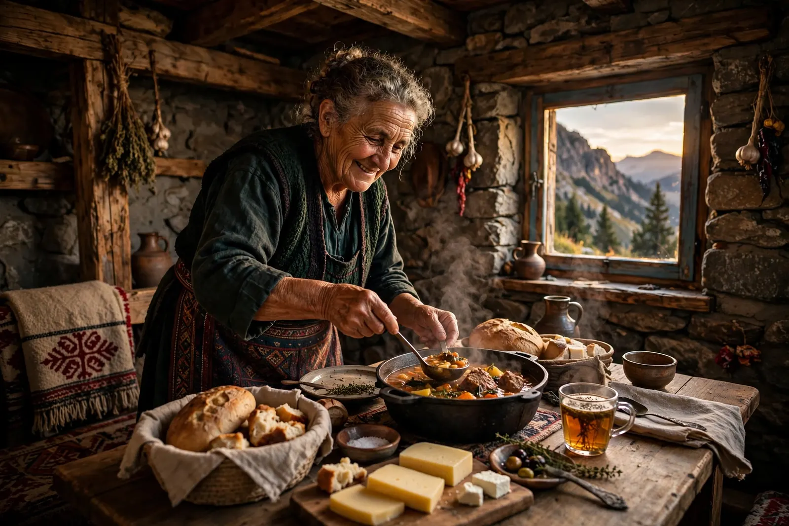
You sleep in family guesthouses, and that is half the experience. These are not hotels. They are homes with extra rooms, run by families who have lived in these valleys for generations. The beds are simple, the showers are sometimes lukewarm, and the food is the best part of the whole trip.
Dinner is whatever the family cooked that day. Expect mountain trout, grilled meat, fresh cheese, warm bread, and vegetables from the garden. Breakfast is bread, cheese, eggs, jam and strong coffee. Lunch is a packed sandwich and fruit, handed to you as you leave in the morning.
Getting There: Shkoder, the Ferry, and the Minibus Lottery
Most hikers fly into Tirana, Albania, then take a bus or minibus to Shkoder, about two hours north. From Shkoder, minibuses run to Theth in the summer season, but the schedule is loose, to put it kindly. Confirm the departure the day before, or be ready to pay for a taxi. It is one of those details that sounds minor until you are standing in a car park at 7am wondering if the bus exists.
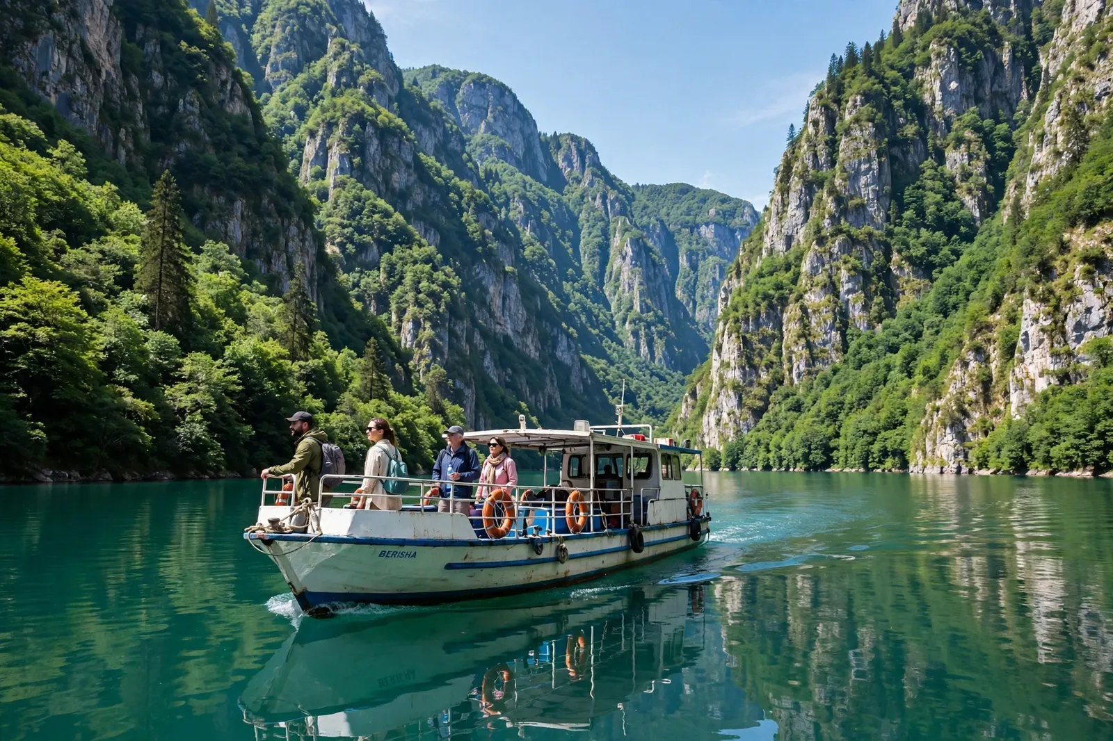
The scenic alternative is the Koman Lake ferry. From Shkoder you drive to Koman, board a small ferry, and cross a turquoise lake through a steep canyon for a couple of hours before a transfer takes you to Valbona. It is regularly called one of the most beautiful ferry rides in the world, and it is not hype. If you are starting in Valbona instead of Theth, this is the way in.
When to Go (And When Not To)
The season is short. Mid-June to mid-September is the window, and the sweet spots are the second half of June and the first three weeks of September.
June brings wildflowers at their best and snow still lingering on the highest passes into early June. July is the driest month, but also the busiest and the hottest, with valley temperatures of 25 to 30 degrees and afternoon thunderstorms on the ridges. September is the connoisseur’s choice: clear air, thin trails, temperatures of 12 to 22 degrees, and guesthouses still open, though some start closing by the end of the month.
October to May is not a hiking season here. Deep snow closes the passes, guesthouses shut, and avalanche risk makes the route unsuitable for backpackers.
If your dates are flexible, aim for September. You get the light, the quiet, and the same mountains, for less money and less hassle.
What to Pack (And What to Leave Behind)
Pack light, but do not pack stupidly light. This is a ten day mountain trek with real weather, and the nearest shop is often a day away.
The essentials: broken-in hiking boots with ankle support, a 30 to 40 litre pack, a waterproof jacket and trousers, two or three quick-dry shirts, a warm layer for the evenings, a sun hat and sunscreen, a headlamp, a water bottle with at least two litres capacity, and a basic first aid kit with blister plasters.
Do not forget: your passport and your permit, printed as well as on your phone, because there is no signal to download anything on a mountain pass. Cash in small euro notes. A power bank. Earplugs, because guesthouse walls are thin and roosters do not respect your sleep schedule.
The Mistakes First-Timers Keep Making
Starting too late in the day. The stages are long, and afternoon thunderstorms are common in July and August. Leave by 7 or 8am, not 10am.
Skipping the permit. We covered this. Two weeks ahead, minimum. No exceptions.
Running out of cash. No ATMs, no cards, no exceptions either. Take more euros than you think you need.
Underestimating the descents. Everyone worries about the climbs. The descents are what destroy knees. Trekking poles are not optional on this trail, in my opinion. Use them.
Trying to do it in seven days. You can, if you are very fit. But you will miss the point. The guesthouse evenings, the slow mornings, the long lunch by a stream, that is the trip. Ten days is the right pace.
Only Have 3 to 5 Days? Do This Instead
Not everyone has ten days, and that is fine. The trail is built for short sections.
The best short version is Theth to Valbona and back, or Theth to Valbona to Cerem and out again, which gives you the signature pass, two valleys, and three or four days of proper mountains. Another good option is the Kosovo section from Rugova to Theth, which is quieter and wilder, and takes about four days.
Is It Actually Hard?
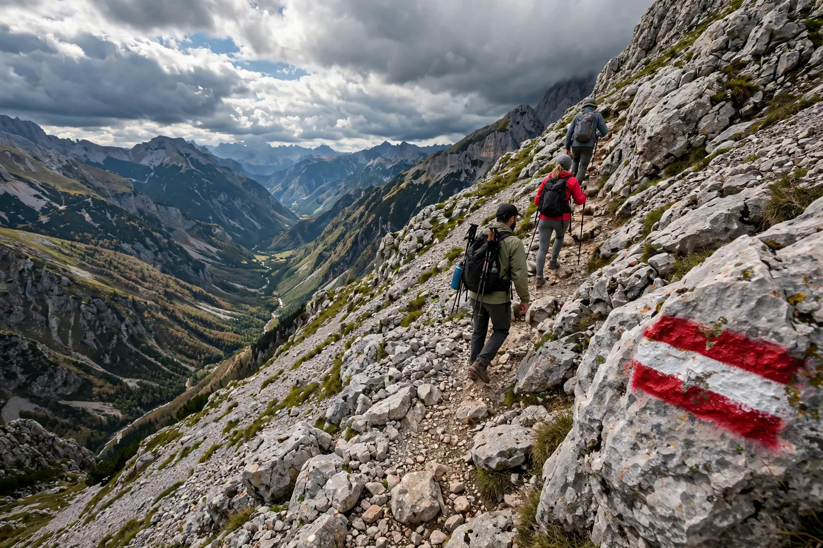
Honestly? Yes, but in a fair way. The trail is graded moderate to hard, depending on who you ask. There is no technical climbing, no scrambling, no exposure that should scare a confident walker. But the days are long, five to eight hours, with around 1,000 metres of climbing and descending on many stages, on rocky paths that punish tired feet.
You need to be fit, not superhuman. If you can walk 15 kilometres with a pack on rolling terrain and still enjoy your dinner, you can do this. If your longest walk this year was to the shops, give yourself a month of training walks first.
The Bottom Line
The Peaks of the Balkans is the rare trail that still feels like a discovery. Three countries, one loop, 192 kilometres of mountains that have not been smoothed out for tourists yet. The guesthouses are real homes. The food is real food. The borders are real borders, and the permit is real paperwork, so sort that first.
Go in 2026, while the guidebook is fresh and the crowds are still thin. Start in Theth, walk anticlockwise, carry cash, leave early, and stand on the Tromedja with three countries at your feet. Then come back and tell me I was wrong about it being special. I do not think you will.
Want more adventures like this? Follow The Cavee on Pinterest for a new trail, cave or wild place every single day, and save this guide for when you start planning. If a big multi-day route is your thing but you want something completely different, our Ha Giang Loop guide covers a 300 kilometre motorbike adventure in Vietnam, and our Mount Huashan plank walk guide covers a very different kind of scary day out. The mountains are not going anywhere. But the quiet might be.